Frequently asked questions about NaturTrip Kärnten
How much does NaturTrip Kärnten cost?
NaturTrip Kärnten is completely free and works directly in your browser on smartphone or computer. The service is funded by regional tourism organizations promoting climate-friendly outings without a car.
Is NaturTrip available as an app?
NaturTrip Kärnten is a web app that runs directly in your browser — no installation needed. On your smartphone you can add it to your home screen for quick access like in a regular app.
Which bus and train connections are supported?
NaturTrip processes all available bus and train connections from official timetables. For route planning, real-time data is used whenever available, including on-demand buses and shared taxis.
How do I find trips reachable by bus and train?
With NaturTrip Kärnten, you can find day trips reachable by bus and train by selecting a category and entering your location on the homepage. The algorithm only shows destinations with a maximum of two changes and short walks of up to 20 minutes. This makes planning outings without a car simple and reliable.
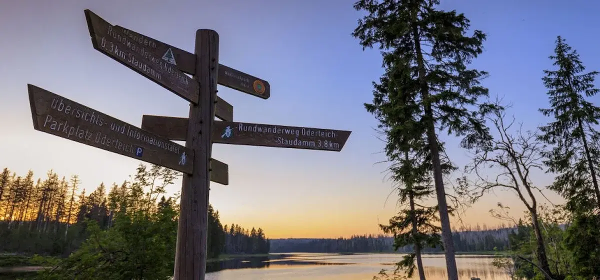
What kind of trip ideas are available on NaturTrip Kärnten?
On NaturTrip Kärnten, you'll find trip ideas such as attractions, swimming lakes, hiking trails, bike tours, and family-friendly activities — all reachable without a car. All content comes from regional tourism organizations and is kept up to date.
How is NaturTrip different from Google Maps for public transport outings?
NaturTrip shows you destinations that are easily reachable from your location by public transport first. Unlike conventional maps, only destinations without complicated connections or long walks are displayed.
Can I search for a specific destination?
Yes, you can search for a specific destination in NaturTrip Kärnten. You'll then get the appropriate route by bus, train, or bike, plus additional information about the destination.
Why does NaturTrip only show easily reachable destinations?
NaturTrip only shows destinations that are easily reachable from your location by public transport. This saves you time when planning and helps you find suitable destinations faster without complicated journeys.
How does NaturTrip know which destinations are easily reachable?
NaturTrip combines tourist content with timetable data and calculates the currently reachable destinations for any location. Changes, walking times, and connections are all taken into account.
Why does the map look different from other map providers?
The NaturTrip map puts bus and train lines and stops center stage. This way you can quickly see how connections run and which destinations lie along the route.
Are seasonal buses like hiking or leisure buses shown?
Yes, all connections included in official timetable data are shown by NaturTrip. This includes seasonal offers like hiking buses or bike buses, as long as they are present in the data.
All questions answered? Then off into nature – Kärnten is waiting for you.
Plan your trip now Pick your destination, we'll find the best connection – based on current transit timetables.